
Being in a city does not mean you cannot explore the outdoors. Oslo is surrounded by green forests, lakes and fjords, and there are so many beautiful trails that the Norwegian capital is a dream destination for hikers, whether you are a local or a tourist squeezing a hike in between museums, restaurants and hidden gems.
Living in a city like Oslo, nature is never far away, often just a short bus, train or tram ride. You can be in the city centre and very quickly be in the forest. Here are our five favourite Oslo hiking trails, all reachable by public transport.
Apps to help you on the way
RuterReise is a handy app for planning public transport in Oslo. It helps you plan your journey to and from your hike of choice.
For hiking routes we use the UT.no app (unfortunately in Norwegian only). It gives you detailed descriptions of routes, so you never take a wrong path.
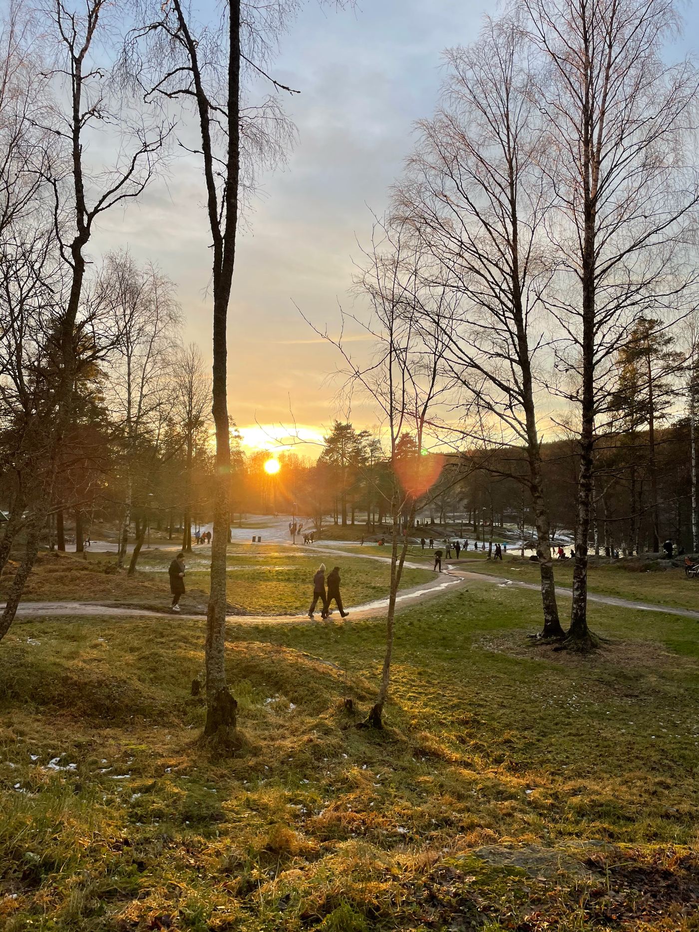
#1 Hiking along the river Akerselva
Akerselva, Oslo's beautiful river, is a slice of wilderness right in the heart of the city.
Take train L3 or bus 54 to Kjelsås station and start the 7.9 km point-to-point trail at the Technical Museum, working your way down towards the centre. Nearly 50 bridges span the Akerselva, with waterfalls along the way.
The river trail follows the flowing water from Maridalen lake, just north of the city, down to the centre through many eclectic and charming neighbourhoods. It is popular with locals and tourists alike, used for hiking, walking and running, and accessible year-round.
#2 Sognsvann Lake by metro
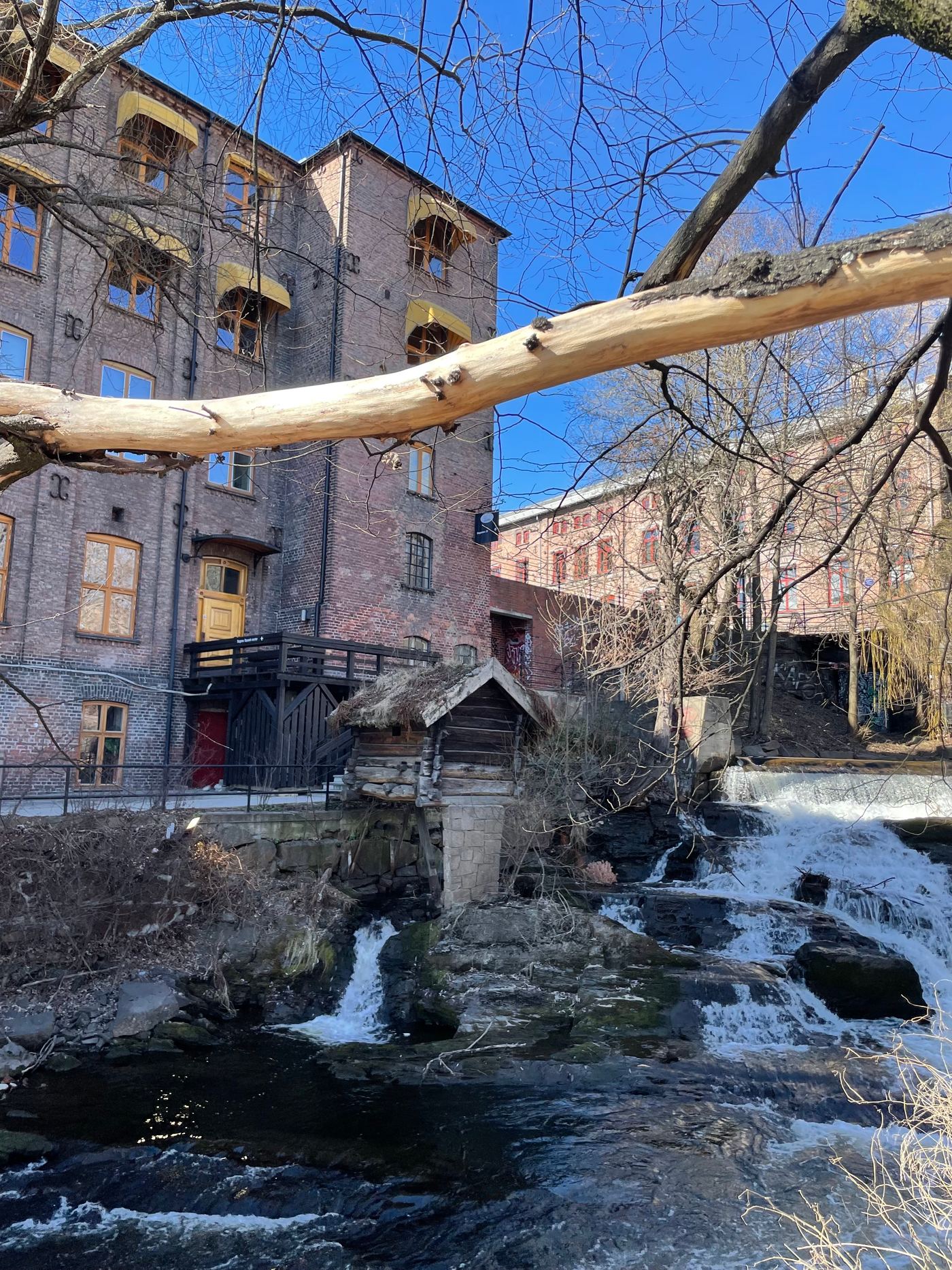
Sognsvann is a recreation area with great spots for picnics, swimming, fishing and walking.
Take metro line 5 to Sognsvann. The path circling the lake starts just 100 metres from the station. If you are looking for an easy, gentle walk with views across the water and up the steep forested hillsides, this is your route.
The trail is a 3.3 km loop, mostly flat with little or no elevation. Sognsvann works all year round: in summer it is perfect for a swim or a lakeside picnic, and in winter it turns into a winter wonderland, when the lake freezes and the trees are dusted in snow.
And one unbreakable rule: bring Kvikk Lunsj
No Norwegian hits the trail without it. Kvikk Lunsj, the crispy wafer bar in its distinctive yellow wrapping, is as much a part of hiking in Norway as boots and a backpack. It even has an official nickname: tursjokolade, "hike chocolate". A bar in the top pocket is the ritual that marks a proper hike, and the first break on a mountain is not complete until it is shared around. Whether it actually beats Freia's melkesjokolade is a debate Norwegians are happy to have for hours. For hiking, there is no debate at all.
#3 Frognerseteren
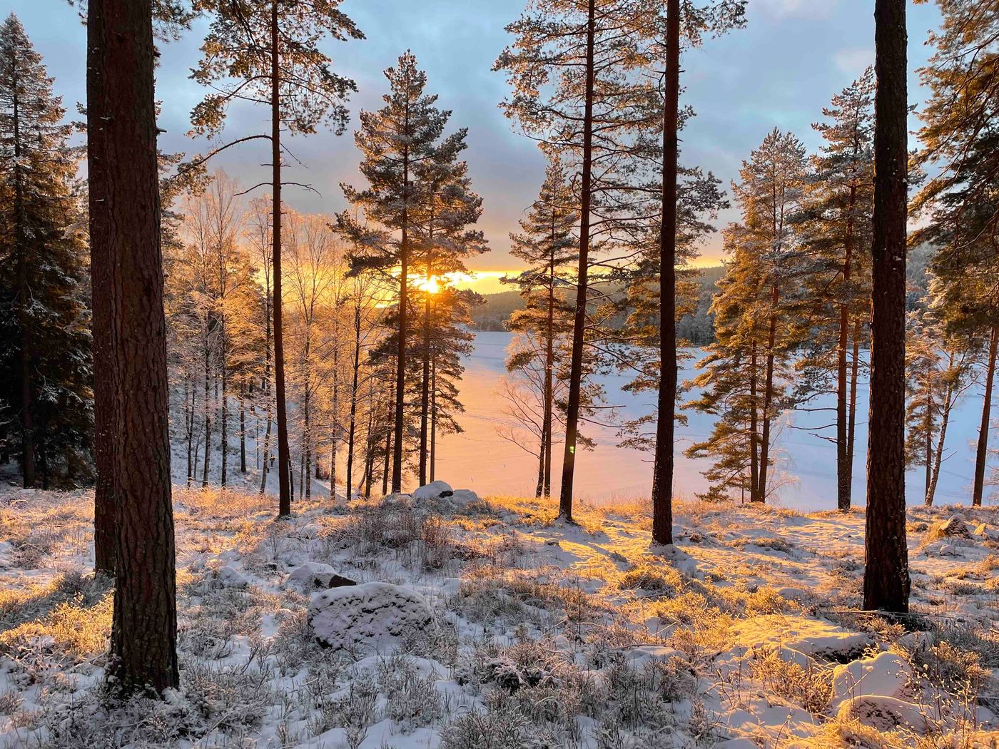
Frognerseteren sits inside Nordmarka, Oslo's "north forest", and it is a popular starting point for recreational hiking and skiing.
Take metro line 1 to Lillevann. Lillevann means "little pond" in Norwegian and refers to the small lake east of the station. From there, hike down towards Frognerseteren Restaurant, the perfect place to try traditional Norwegian dishes while enjoying magnificent views over Oslo and the Oslofjord.
Afterwards, continue down to Holmenkollen Ski Jump. The ski museum underneath the jump is the oldest of its kind in the world and covers more than 4,000 years of skiing history, and the observation deck on top of the tower offers fantastic panoramic views of the city. This 5 km hike is great for beginners and suits all abilities.
#4 Kolsåstoppen
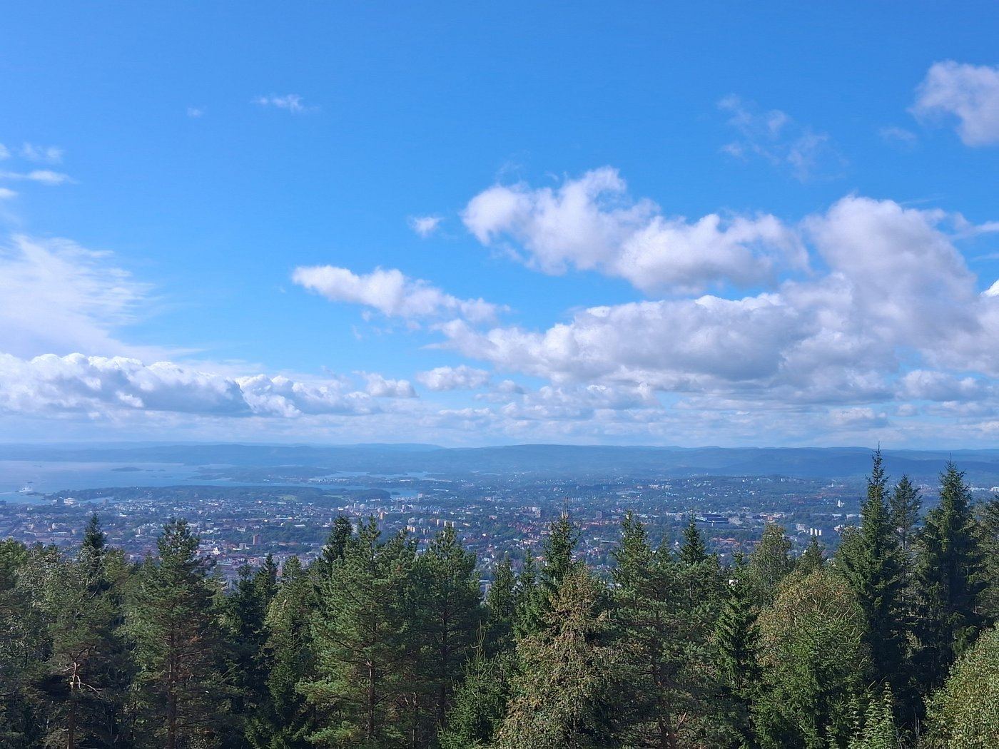
The Kolsåstoppen hike is one of the most popular in the region. Enjoy panoramic views of Oslo, Bærum and the Oslofjord from the top of Kolsås mountain.
Take bus 150 towards Gullhaug from Oslo to Stein Gård, and walk towards the farm entrance for the start of the hike. There are different routes to the top, but for the most spectacular views follow the Søndre route. The view from the top is epic and a great place for a break.
This intermediate-level hike of around 8 km takes about 2 hours, through quiet tall forest and past a small lake where you can swim on the way up. If you do not want to return to Stein Gård, you can finish at Kolsås station, where metro line 3 starts and ends.
#5 Around Bygdøy
Bygdøy is a small peninsula just west of the city centre, one of the best places to enjoy nature close to the city and home to Oslo's most famous museums.
The loop around Bygdøy is approximately 7 km of moderate trail featuring beautiful wild flowers and scenery that shifts from mysterious forest to scenic coastline with great views along Bygdøy's oceanfront.
Like Sognsvann, it is more of a walk than a hike, and all the trails are well marked and maintained. Take bus 30 from Oslo Central Station and get off at Karenslyst allé. The trail starts just over the road at Dronning Blancas vei. You cannot miss it.
Happy hiking!
And if you would like a guide, our Viking Tales, Trails and Tastes tour combines Oslo's trails, Viking history and tastings of what the Vikings ate. Snacks we Norwegians still eat today. See you on the trail!